
Burragorang Valley
Traditional lands of the Gundungurra people. In 1876 local Aboriginal people raised funds to purchase farm on the junction of Cox's and Wollondilly Rivers. In 1924, Aboriginal families, including those of Skerrit & Shepherd were forced off farms in the valley. Many moved to the communities of La Perouse as well as Salt Pan Creek on the Georges River. During the 1950s the entire population of Burragorang Valley was forcibly evacuated, houses were pulled down and the valley cleared on trees and vegetation in preparation for the completion of Warragamba Dam in 1960s.
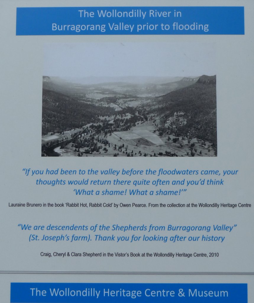

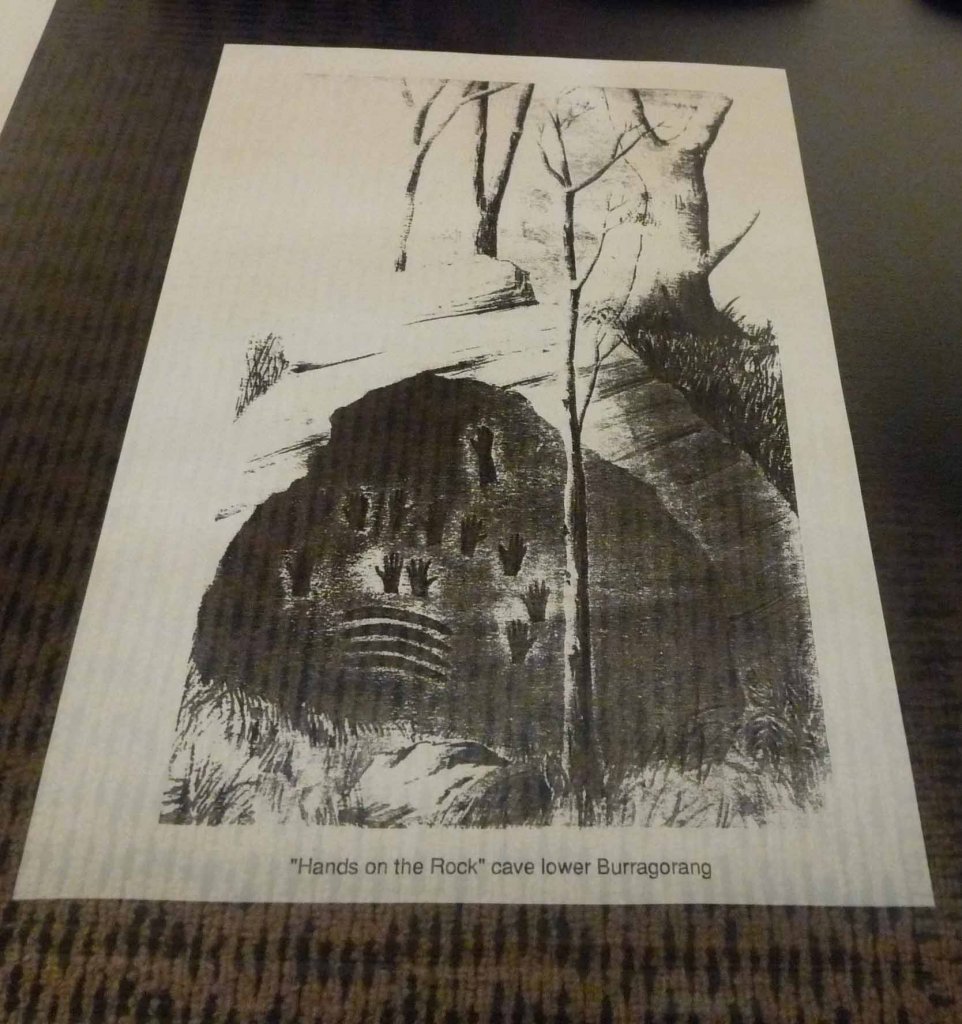
Images: Burragorang Valley prior to flooding; The valley in 2013; Hands of Rock cave from the lower valley.
Related videos: Working at Warragamba Dam: Chicka Madden
Location
Australia
33° 53' 54.312" S, 150° 34' 0.5808" E